Precise measurements.
Meticulous documentation.
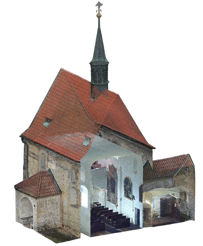
We are a land surveying practice based in Prague, working throughout the Czech Republic. We specialise in laser scanning of buildings combined with terrestrial and aerial photogrammetry. The result: accurate detailed drawings and three-dimensional models.
Complete land surveying services
with the latest technology
 01 · Surveying
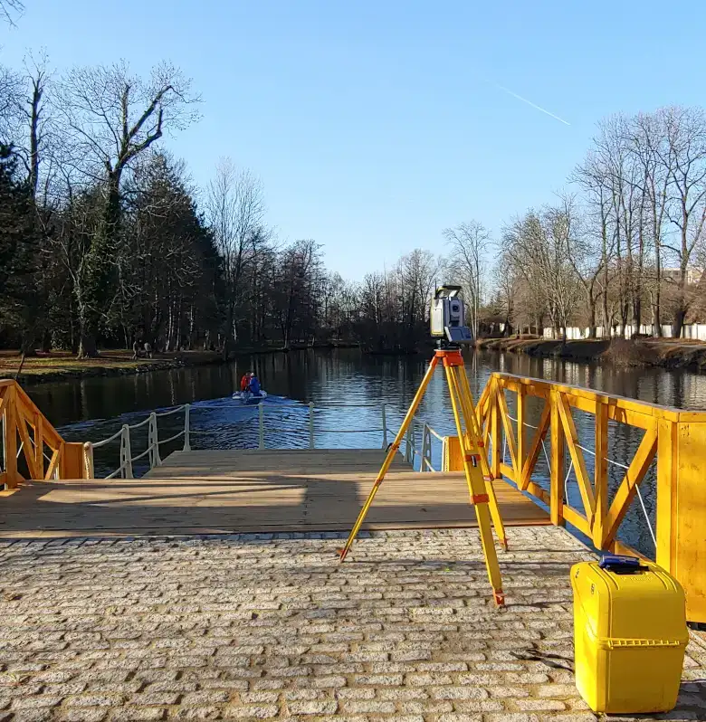
Engineering surveying
Measured building surveys, engineering surveying, Cadastre of Real Estate work and digital technical documentation. Drawing detail at 1:50.
 02 · UAS
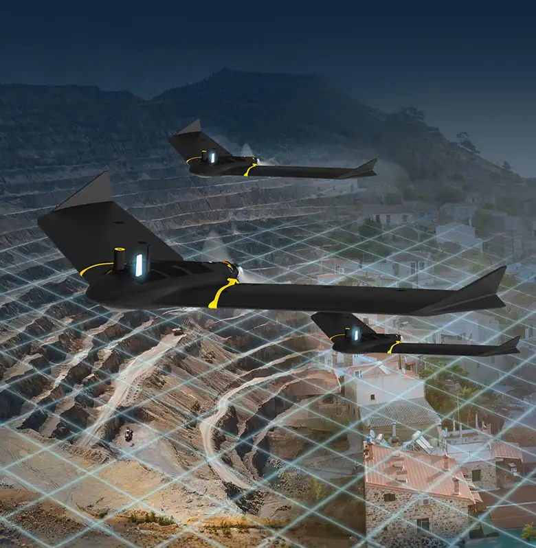
UAV mapping
Aerial photogrammetry by drone, epoch measurements and Pix4D cloud storage. Survey accuracy within 3 cm.
 03 · Foto
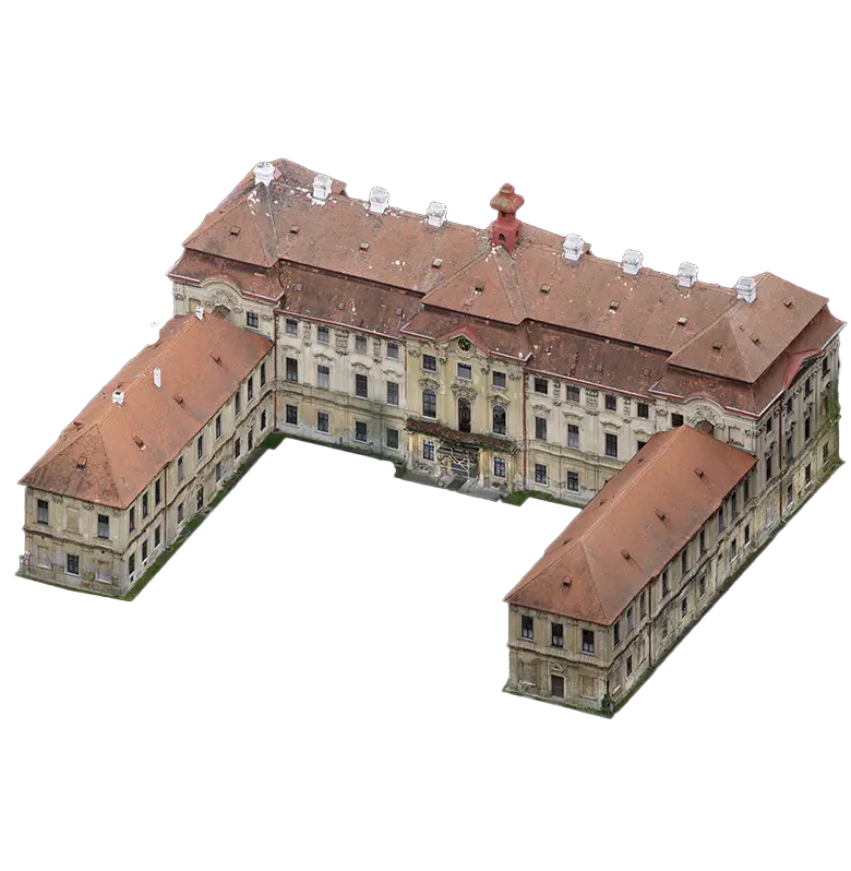
Photogrammetry
Aerial and terrestrial photogrammetry, textured 3D models of buildings and structures. Orthophoto resolution down to 3 mm/pixel.
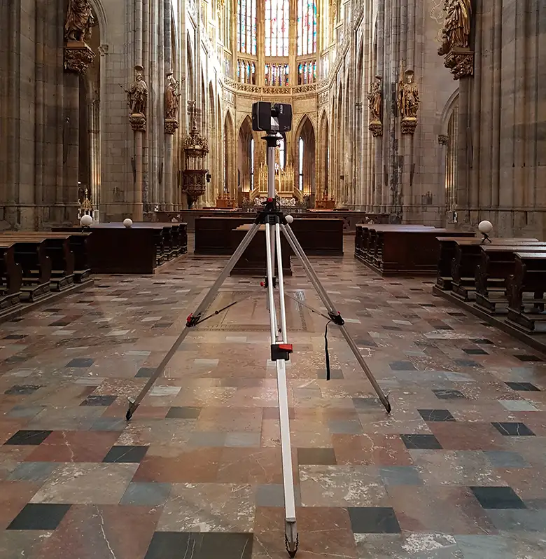 04 · 3D Scan
3D laser scanning
A modern method using the Trimble X9: point clouds, 3D models and deformation monitoring of buildings and operating plants.
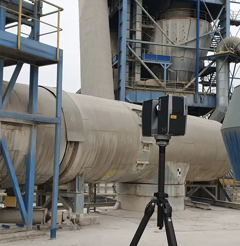 05 · Industry
Industrial plants
Laser scanning for industrial applications: detailed 3D models at a defined level of detail (LOD).
From consultation to precise results
Consultation and analysis
We assess what you need, propose the best survey method and prepare a schedule with a price quotation.
Fieldwork
We measure with top-end Trimble instruments and unmanned aircraft, to millimetre accuracy.
Data processing
On high-performance graphics workstations we turn point clouds into accurate drawings and 3D models.
Deliverables
We deliver in DWG, DGN, PDF and 3D formats, and arrange certification of the documentation by an authorised surveying engineer.
Completed projects for leading clients
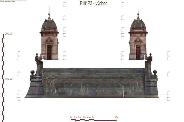
Legion Bridge, Prague
Complete 3D documentation of a historic bridge: point cloud and detailed model for the restoration.

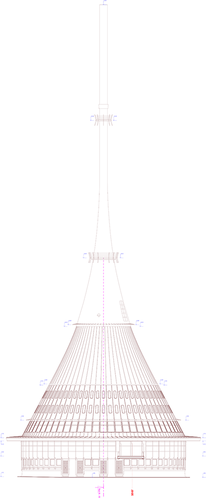
Ještěd: documentation
Survey and 3D documentation of a one-of-a-kind structure, prepared for the building's management.
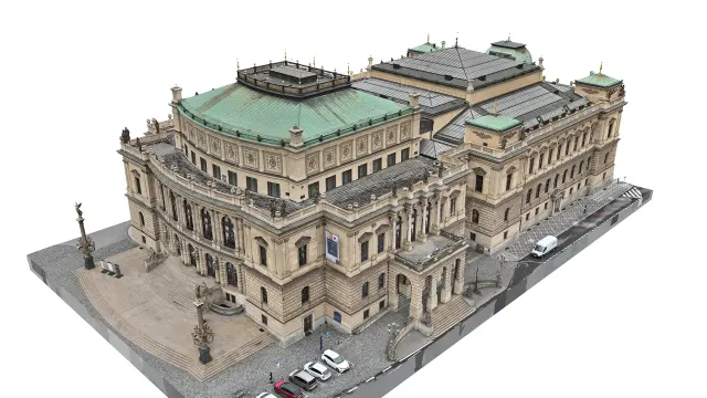
Rudolfinum
Photogrammetric survey of the Rudolfinum facades: digital elevation drawings and orthophoto views at 3 mm/pixel.
Accuracy proven in practice since 1991
Authorised surveying engineers
Three of our engineers hold the official authorisation.
UAS licences: A1, A2, A3
Accuracy of 3 cm, coverage across the whole Czech Republic.
Software Groma
Authors of our own surveying software.
1,000+ completed projects
Heritage conservation, research, industry and the private sector.
of experience
Trusted by leading institutions
Groma: our own surveying software
Groma is a surveying computation system for MS Windows. It handles the full range of surveying calculations with a minimum of effort.
Have a project we can help with?
Get in touch for a no-obligation consultation. We reply within 48 hours.