Photogrammetry
Terrestrial and aerial photogrammetry for textured 3D models, orthophotos of facades and measurable documentation. Millimetre accuracy on historic and modern buildings.
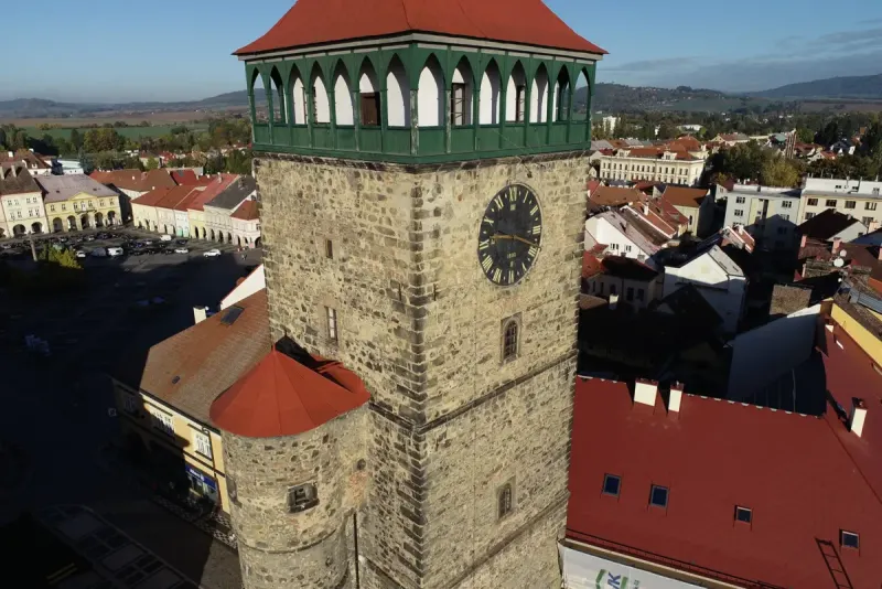
Terrestrial photogrammetry
Terrestrial photogrammetry produces highly detailed textured 3D models and orthophotos of facades from ground-based imagery. It is the right method for documenting facades, sculpture, architectural detail and historic buildings.
Processing runs in Reality Capture, which lets us combine ground-based and aerial data into complete 3D documentation of a building. The result is a measurable model accurate to the millimetre.
- Textured 3D models of facades and interiors
- Orthophotos of facades accurate to the millimetre
- Documentation of architectural detail and sculpture
- Source data for conservation work
- Virtual tours of buildings
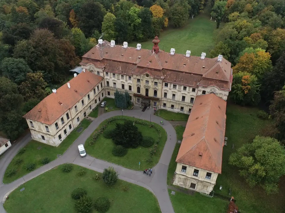
Aerial photogrammetry
By combining aerial and ground-based imagery we build complete 3D models of buildings and whole sites. Aerial photogrammetry reaches roofs, inaccessible places and the wider context of a building.
The resulting models are fully textured and measurable. They serve as a basis for design documentation, visualisations, virtual tours and the archiving of cultural heritage.
- Complete 3D models of buildings, roofs included
- Combination of ground-based and aerial data
- Measurable orthophotos of roofs and facades
- Digital archiving of cultural heritage
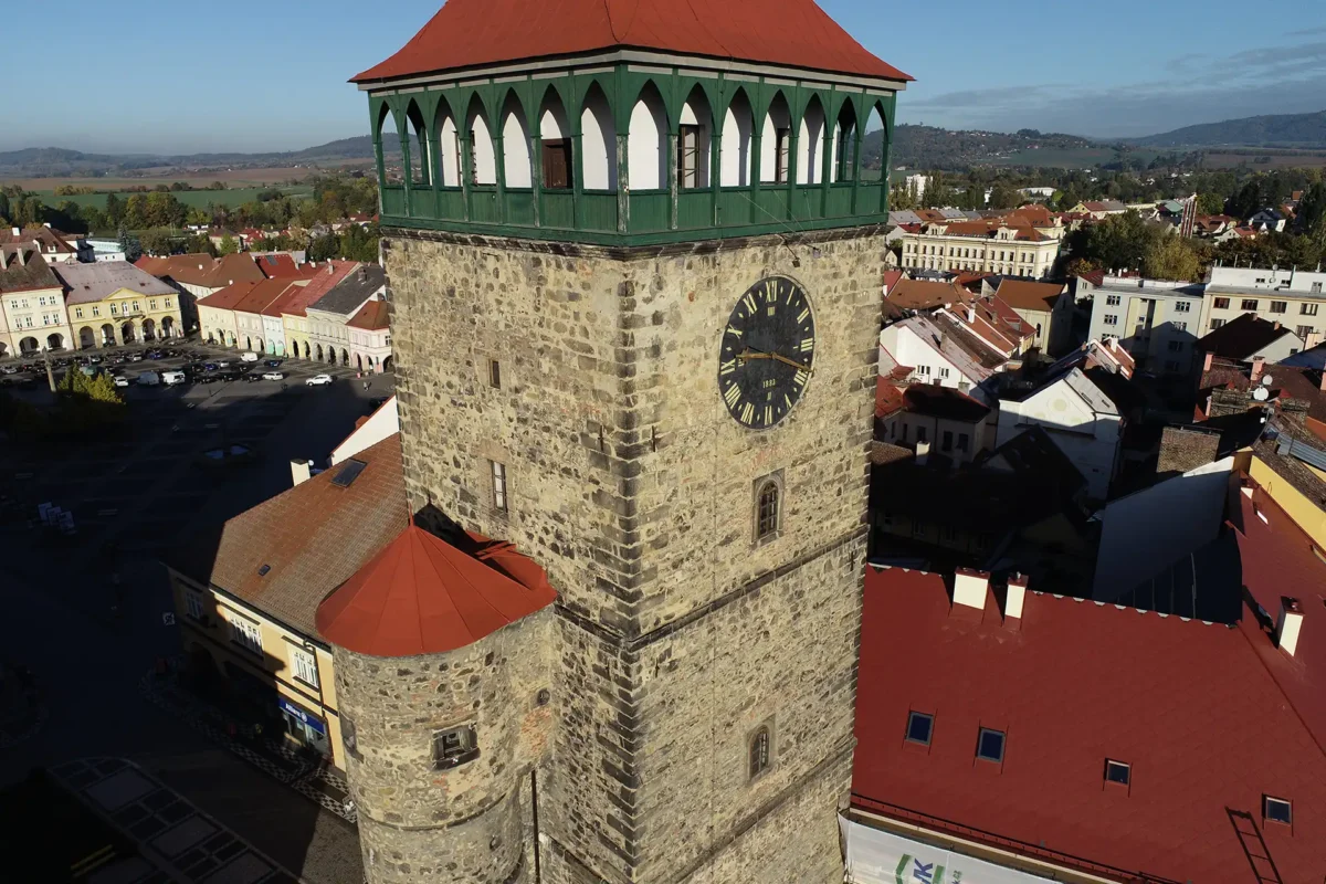
Selected projects
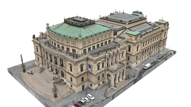
Rudolfinum
Photogrammetric documentation for the Czech Philharmonic.
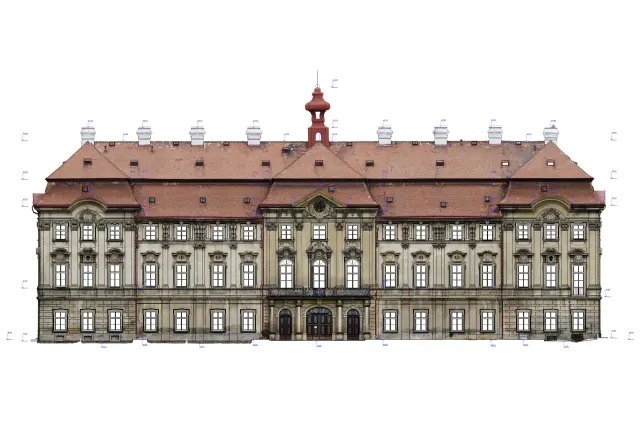
Měšice Chateau
Photogrammetric documentation of the castle grounds.
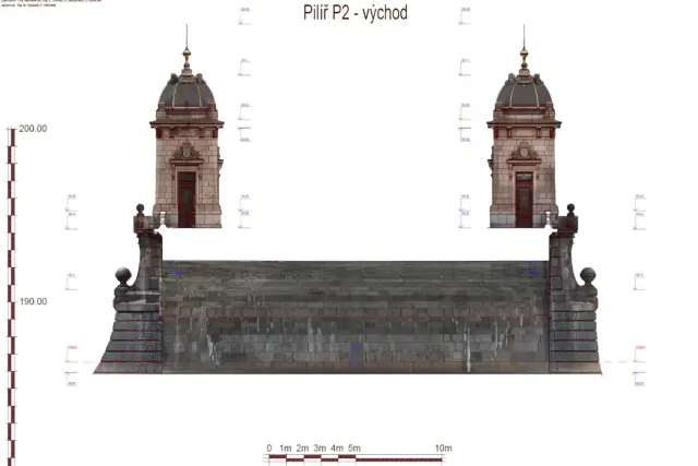
Legion Bridge
3D documentation of a historic bridge.
What working with us looks like
From image capture to handing over a measurable 3D model: a professional process with quality control.
Image capture
Systematic photography of the building from defined stations, with calibrated cameras and a drone.
Image orientation
We compute the relative orientation of the images and register them into the coordinate system using survey control points.
3D modelling
We build a dense point cloud, a mesh model and the textures in Reality Capture, then check the accuracy.
Handover
The 3D model, orthophotos, sections and elevations in OBJ, FBX, DWG or PDF, as the client requires.
What clients ask
What is photogrammetry and when is it a better choice than laser scanning?
Photogrammetry builds 3D models and drawings from overlapping images taken from the ground or from the air. It excels on facades, heritage buildings and textured 3D models; we often combine it with laser scanning for the best result.
What resolution and accuracy do the deliverables have?
We work to millimetre detail: the orthophoto elevations of the Rudolfinum, for example, were delivered at 3 mm/pixel. We match the accuracy to the purpose of the documentation.
How much does a photogrammetric survey cost?
The price depends on the size of the building, the resolution required and the type of deliverables: orthophoto elevations, a textured 3D model or facade drawings. We will send a free, no-obligation quote within 48 hours.
What deliverables will I get from photogrammetry?
Textured 3D models, orthophoto elevations, digital facade drawings and source data for design work, in whatever formats suit your workflow (DWG, PDF, 3D formats).
Have a project we could help with?
Get in touch for a no-obligation consultation. We will send a free quote within 48 hours.