3D laser scanning
Spatial documentation of buildings with the Trimble X9 laser scanner at 1 million points per second. Point clouds, 3D models, inspection surveys and deformation monitoring.
Trimble X9 technology
We use the Trimble X9 laser scanner, one of the most advanced instruments on the market. Automatic registration and self-levelling make scanning fast and accurate: 1 million points per second at a range of 80 metres.
The scanner registers individual scans into a common coordinate system automatically, with no need for targets. The result is a colour point cloud accurate to the millimetre, which forms the basis for all further processing.
- 1,000,000 points per second with automatic registration
- Self-levelling and automatic calibration
- A range of 80 m with millimetre accuracy
- Colour point cloud (RGB)
- Suitable for interiors and exteriors alike
Deliverables and processing
From the registered point cloud we produce complete documentation: 2D sections and elevations, 3D CAD and BIM models, and inspection and deformation analyses. The deliverables come in standard formats compatible with BIM workflows.
Laser scanning suits the documentation of historic buildings, industrial sites, bridges and tunnels. It captures inaccessible places and details that conventional methods could not record.
- Registered and cleaned point cloud
- 2D sections, elevations and floor plans from the point cloud
- 3D CAD and BIM models (Revit, AutoCAD)
- Inspection surveys and deformation analyses
- Monitoring of displacement and deformation over time
Selected projects
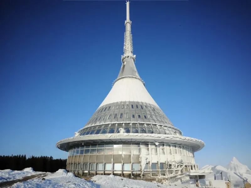
Ještěd
3D documentation of a unique structure.
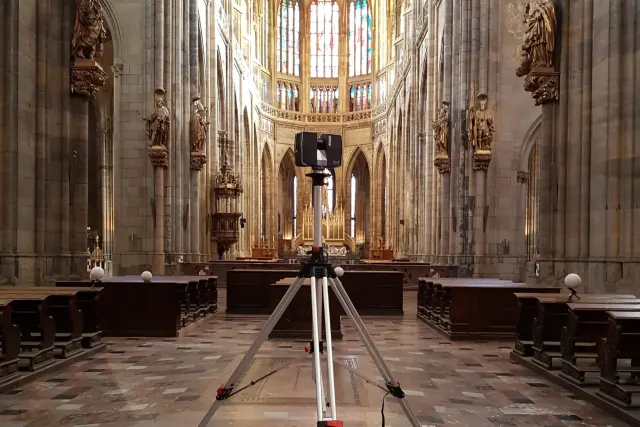
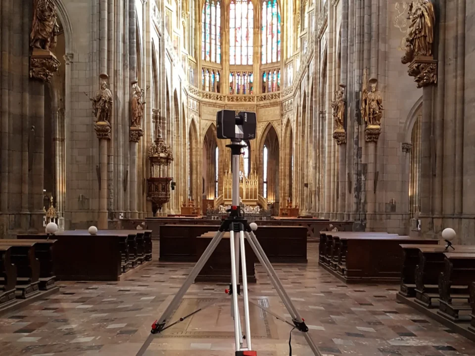
St Vitus Cathedral
Interior scanning for the Prague Castle Administration.
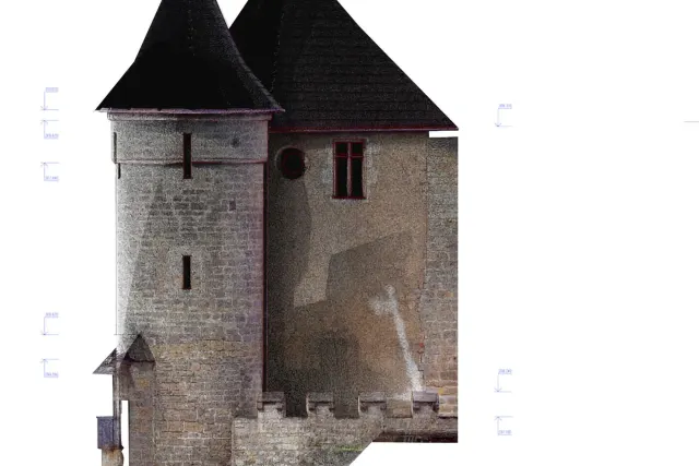
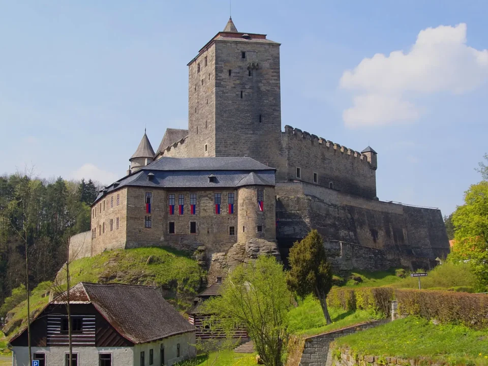
Kost Castle
Documentation of the castle complex.
What working with us looks like
From the site reconnaissance to handing over finished documentation: a precise process with quality control.
Reconnaissance
We plan the scanner stations, set out the control points and coordinate with the operation of the building.
Scanning
Data capture with the Trimble X9 and its automatic registration. We check coverage on site.
Processing
Cleaning the point cloud, registering it into the coordinate system and drafting the documentation.
Documentation
Handover in E57, LAS, DWG, RVT or any format you need, including 3D models and sections.
What clients ask
How much does 3D laser scanning cost?
The price depends on the size and complexity of the building, the level of detail required and the type of deliverables: a point cloud, 2D drawings or a BIM model. We therefore price every job individually and will send a free, no-obligation quote within 48 hours.
How long does laser scanning take?
Thanks to the Trimble X9, which captures 1 million points per second and registers scans automatically, the data capture itself takes hours to a few days depending on the size of the building. Most of the time goes into processing the point cloud and drafting the documentation.
How accurate is laser scanning?
The Trimble X9 measures to millimetre accuracy at a range of 80 metres. The result is a colour point cloud (RGB) registered into a single coordinate system.
What formats do the deliverables come in?
We normally hand over point clouds in E57 and LAS, and drawings and models in DWG or RVT (AutoCAD, Revit). We adapt the formats to your CAD or BIM workflow.
Does scanning work indoors and in places that are hard to reach?
Yes. The scanner works indoors and outdoors alike and captures details that conventional methods could not survey, with no scaffolding and no interruption to the operation of the building.
Have a project we could help with?
Get in touch for a no-obligation consultation. We will send a free quote within 48 hours.