Complete land surveying services
From measured surveys through 3D scanning to UAV mapping.
Our services
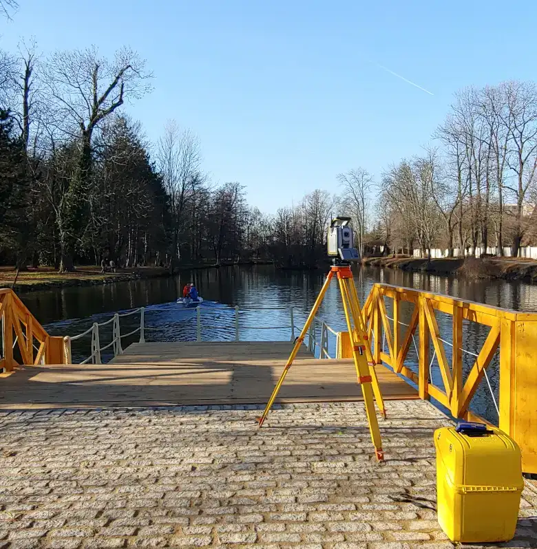 01 · Surveying
Engineering surveying
Measured building surveys, engineering surveying, Cadastre of Real Estate work and digital technical documentation.
 02 · UAS
UAV mapping
Aerial photogrammetry by drone, epoch measurements, Pix4D cloud storage and accuracy within 3 cm.
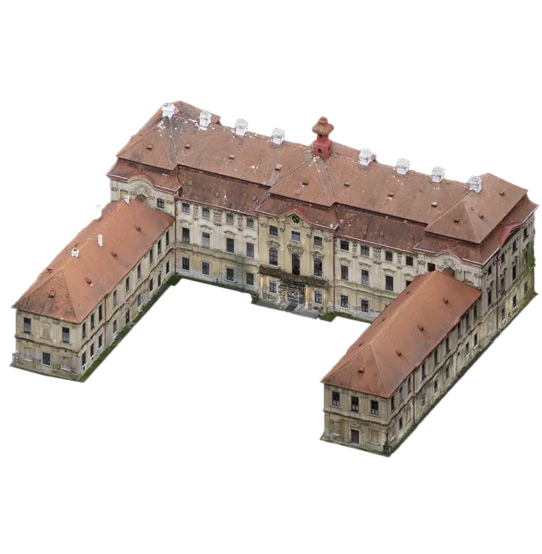 03 · Foto
Photogrammetry
Aerial and terrestrial photogrammetry, producing high-fidelity textured 3D models of buildings and structures.
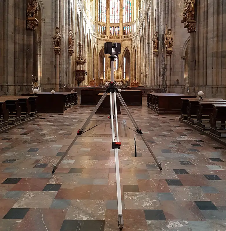 04 · 3D Scan
3D laser scanning
A modern method using the Trimble X9, capturing up to 1,000,000 points per second at high accuracy.
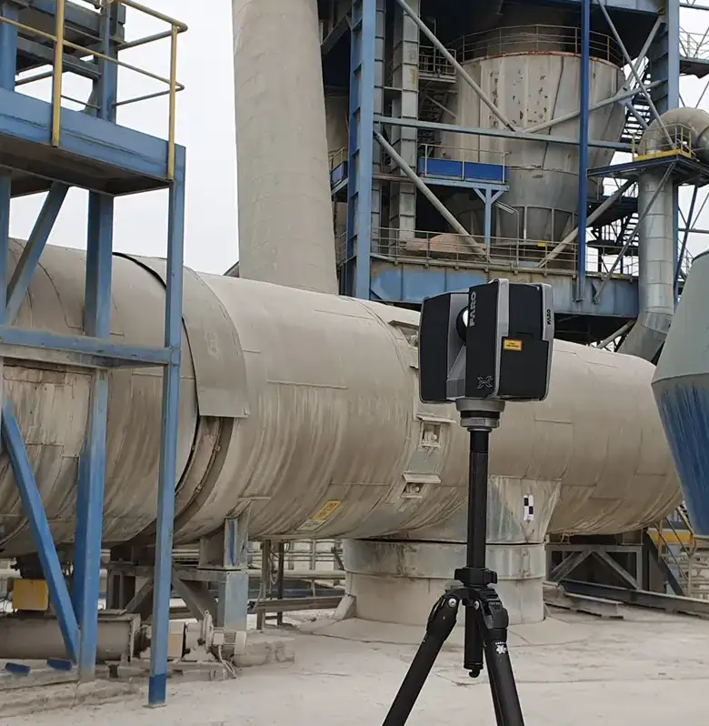 05 · Industry
Industrial plants
Laser scanning for industrial applications: detailed 3D models at a defined level of detail (LOD).
Kterou metodu zvolit
An overview of the five methods we use, by accuracy, deliverable and type of job. If you are not sure which fits, send us your brief: we will recommend a method and prepare a free, no-obligation quotation within 48 hours.
| Metoda | Typical accuracy | Main deliverables | Kdy ji zvolit |
|---|---|---|---|
| 3D laser scanning | Millimetre level, range up to 80 m (Trimble X9, up to 1,000,000 points/s) | Point cloud (E57), 2D sections and floor plans, 3D model, BIM source data | Complex structures, interiors, historic buildings, deformation monitoring and inspection surveys |
| UAV mapping | A few centimetres, typically within 3 cm (DJI Matrice 4E) | Orthophoto map, digital terrain model, volume calculations, epoch measurements | Large areas, landfills, construction sites, land consolidation, repeated monitoring over time |
| Photogrammetry | Orthophoto resolution down to 3 mm/pixel | Facade orthophotos, textured 3D model, measurable image documentation | Facades, elevations, heritage buildings and any surface where colour and material information matters |
| Industrial plants | Model at level of detail LOD 100 to 500 | 3D model of pipework and equipment, clash detection, site documentation | Operating industrial plants, technology refits, planning equipment replacement |
| Engineering surveying | To the relevant standard and the purpose of the survey | Surveying sketch (geometrický plán), setting out, measured building surveys; DWG/DGN/PDF deliverables certified by an authorised surveying engineer | Cadastre of Real Estate, title matters, planning procedures, setting out of buildings and boundaries |
Have a project we can help with?
Get in touch for a no-obligation consultation. We reply within 48 hours.