UAV mapping
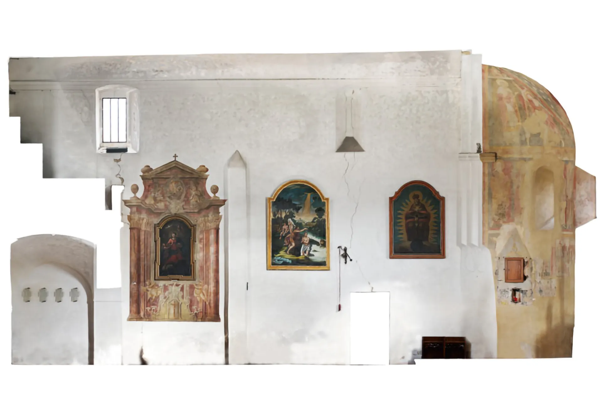
Dolní Chabry church
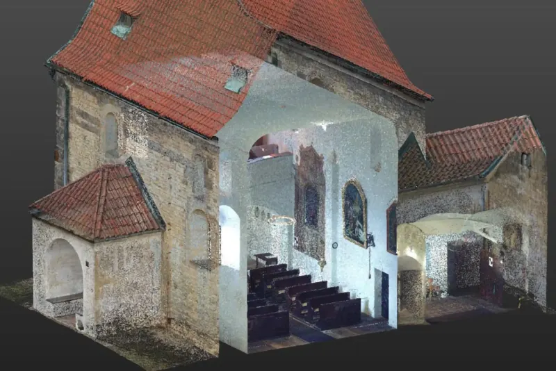
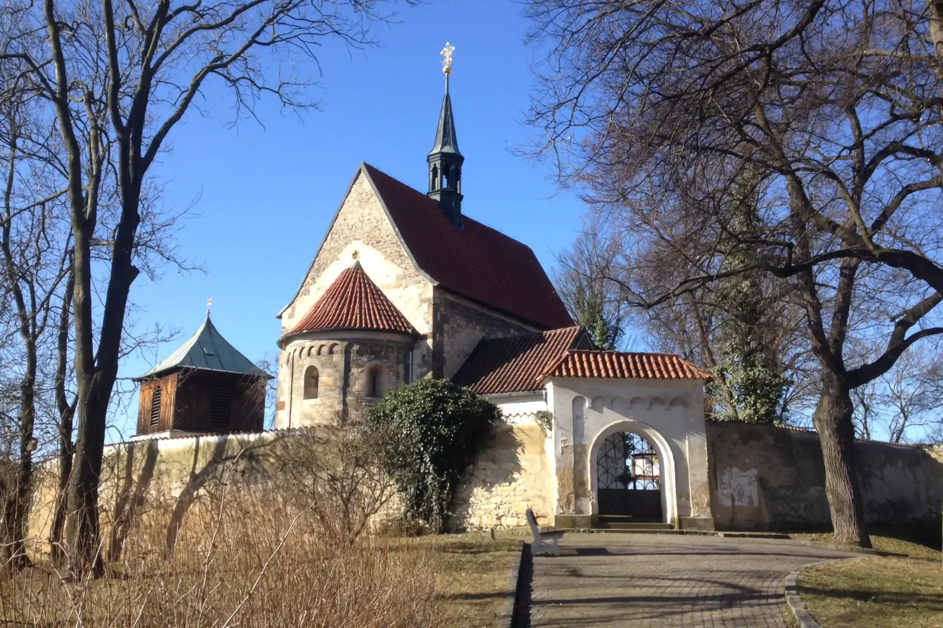
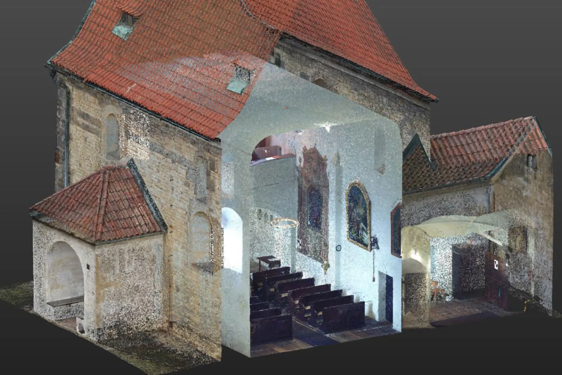
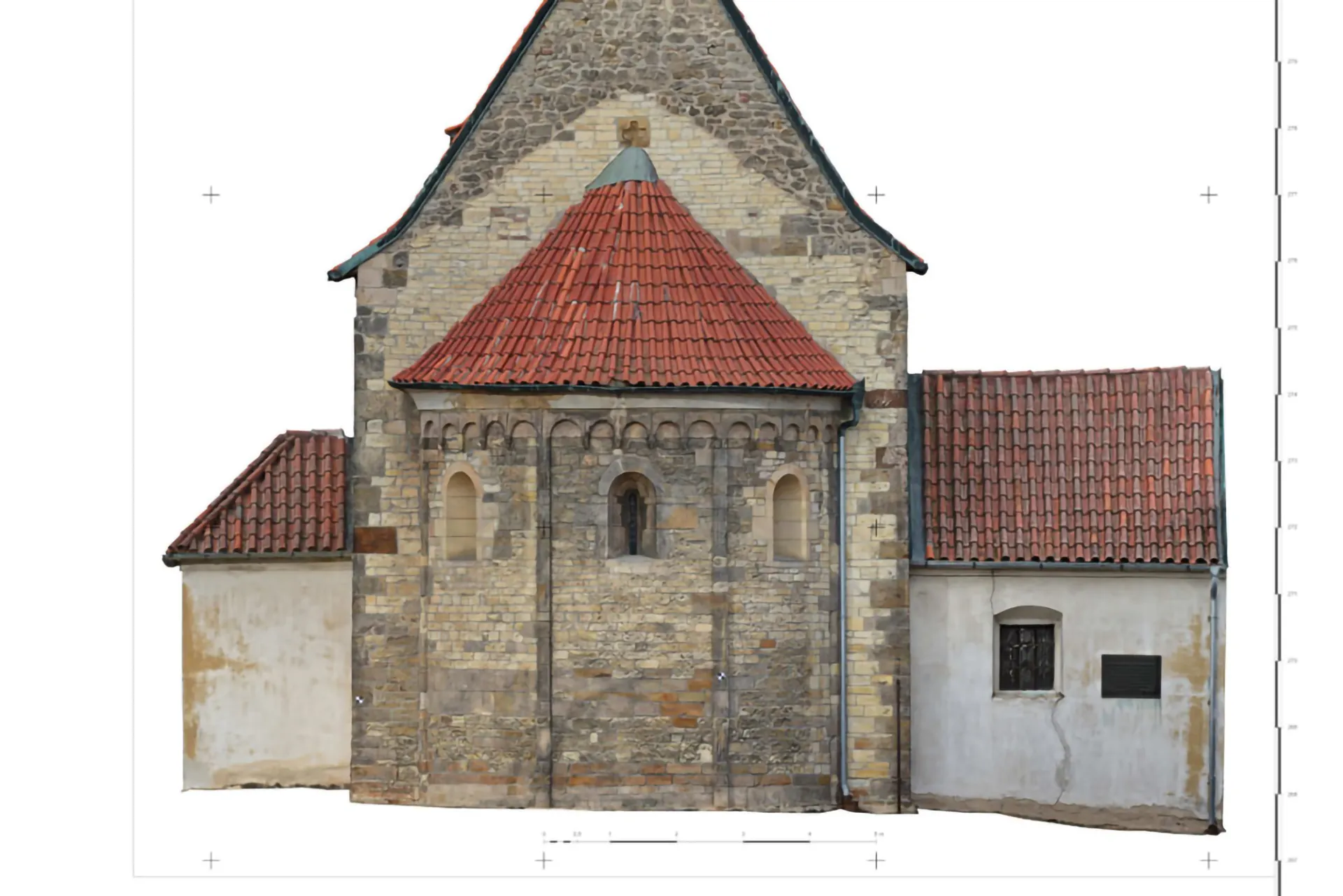
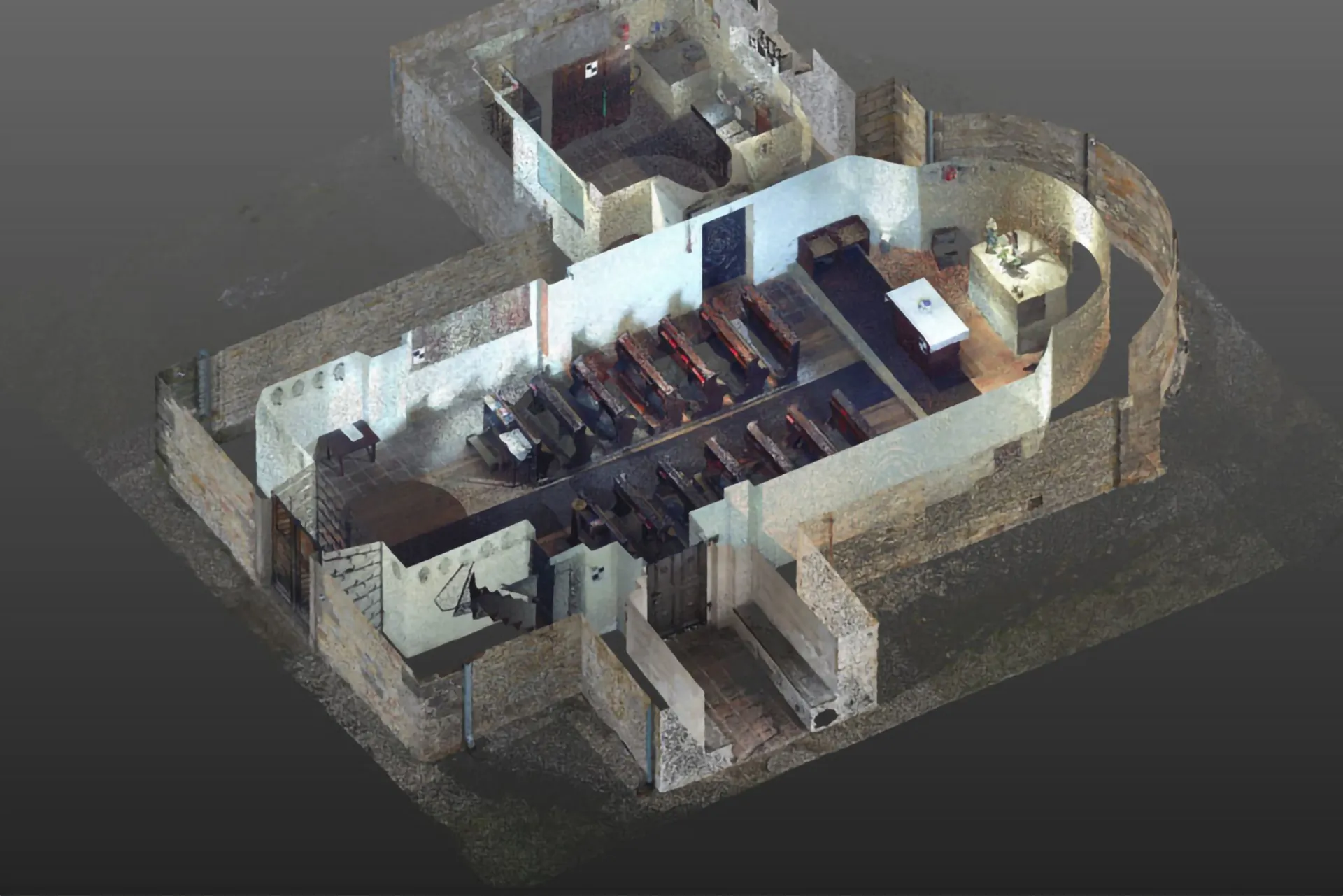
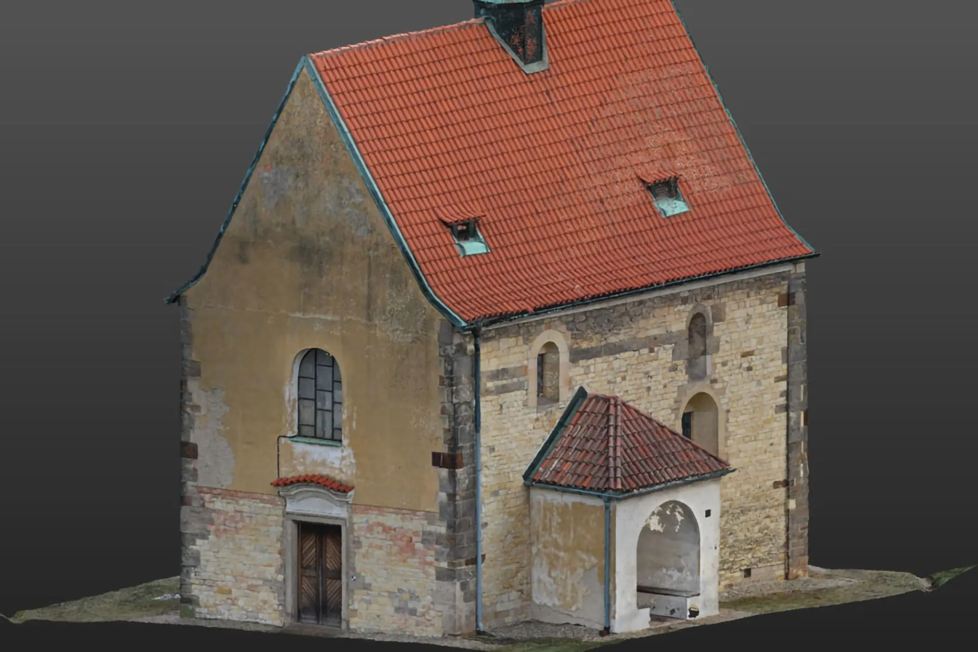
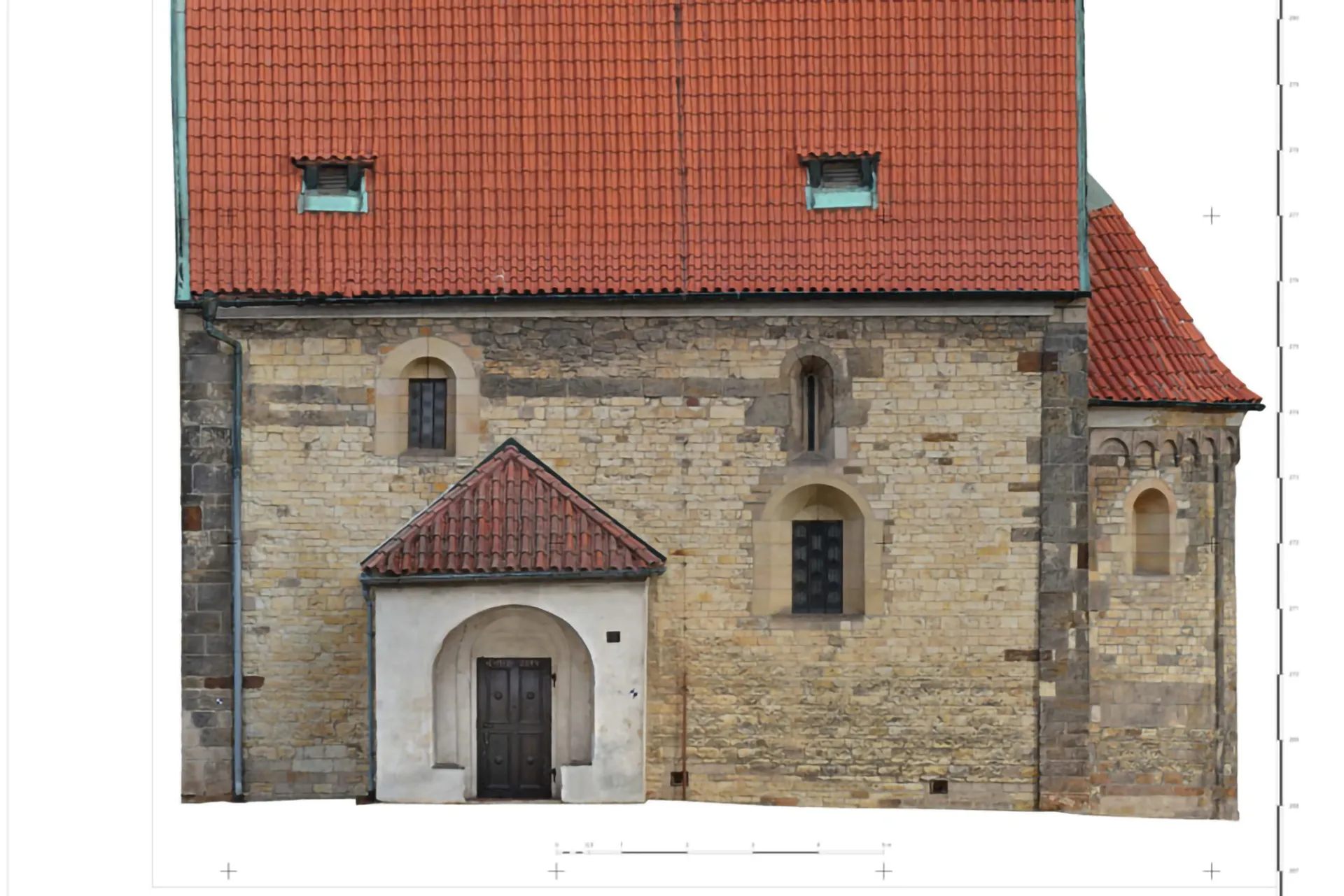
Photogrammetric documentation of the church in Dolní Chabry, prepared as a basis for technical building documentation.
- Client
- Archdiocese of Prague
- Location
- Prague, Dolní Chabry
- Year
- 2019
- Service
- UAV mapping
About the project
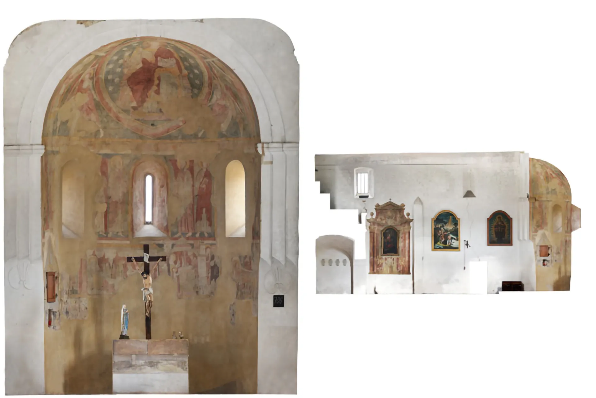
The project covered a survey and digital technical documentation of the church in Dolní Chabry as it stands. Combining laser scanning with photogrammetry captured the architectural detail of the building.
The resulting documentation is used for planning maintenance and future restoration work.
Technology used
Gallery
More projects
Other projects
UAV mapping
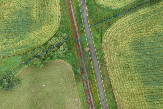
Land consolidation
Aerial survey of cadastral districts for land consolidation (eBee X UAS).
UAV mapping
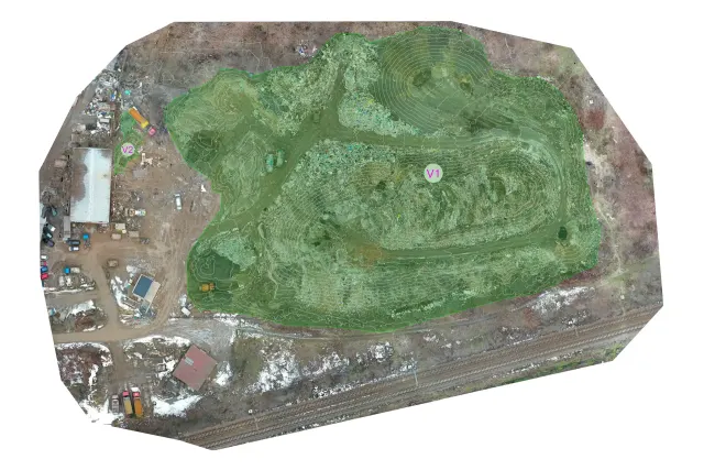
Malešice landfill
Volume measurement by UAS.
Photogrammetry
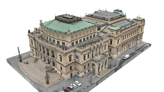
Rudolfinum
Documentation for the Czech Philharmonic.
Have a project we can help with?
Get in touch for a no-obligation consultation. We reply within 48 hours.