UAV mapping
Malešice landfill
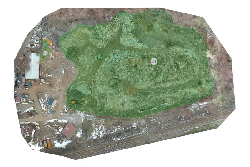
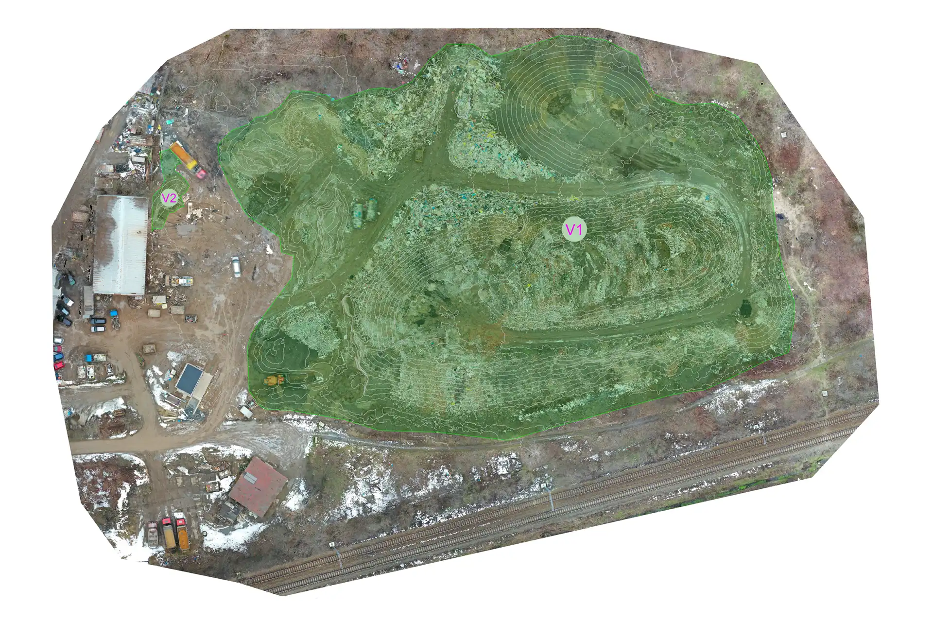
Aerial photogrammetry to calculate waste volumes at the Malešice landfill in Prague.
- Client
- Malešická provozní s.r.o.
- Location
- Prague
- Year
- 2019
- Service
- UAV mapping
About the project
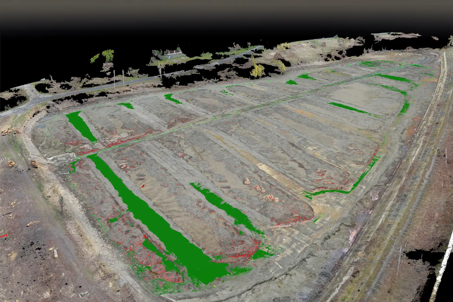
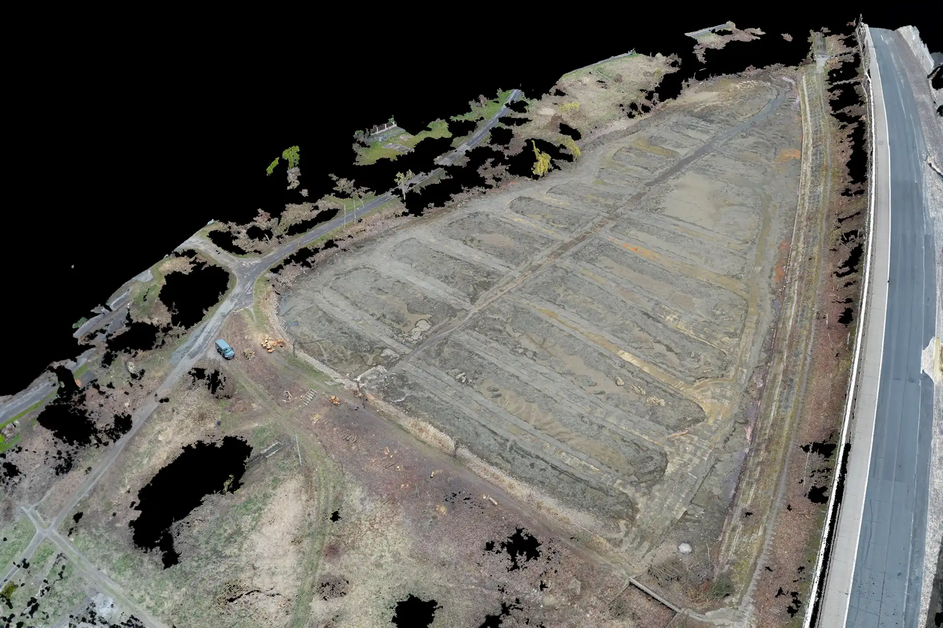
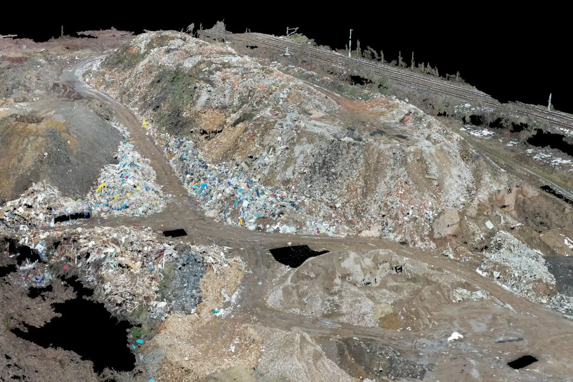
The project covered the calculation of waste volumes at the Malešice landfill using aerial photogrammetry. We flew unmanned aircraft to capture imagery from a range of altitudes and angles, and built detailed 3D terrain models to obtain accurate measurements.
The data supported capacity optimisation and the planning of future expansion.
Technology used
Gallery
More projects
Other projects
UAV mapping
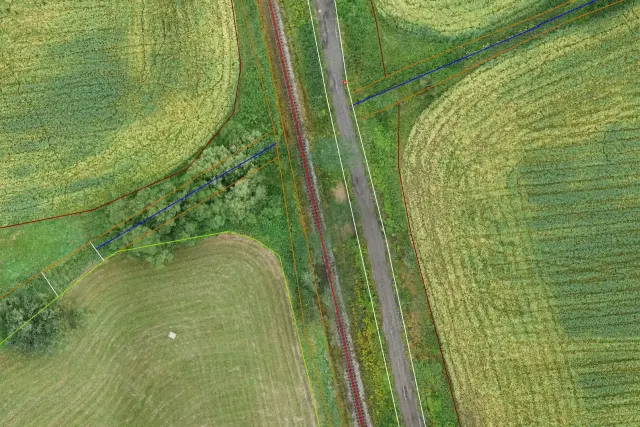
Land consolidation
Aerial survey of cadastral districts for land consolidation (eBee X UAS).
UAV mapping
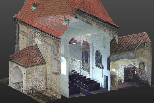
Dolní Chabry church
Documentation of a church building.
Photogrammetry
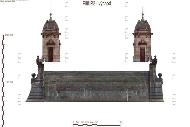
Legion Bridge
3D documentation of a historic bridge.
Have a project we can help with?
Get in touch for a no-obligation consultation. We reply within 48 hours.