UAV mapping
Land consolidation
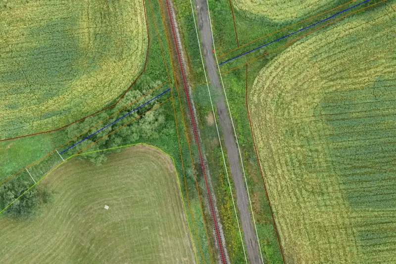
Aerial survey of cadastral districts for comprehensive land consolidation using the eBee X UAS.
- Client
- AREA G.K. spol. s r.o.
- Location
- Czech Republic
- Year
- 2020–2024
- Service
- UAV mapping
About the project
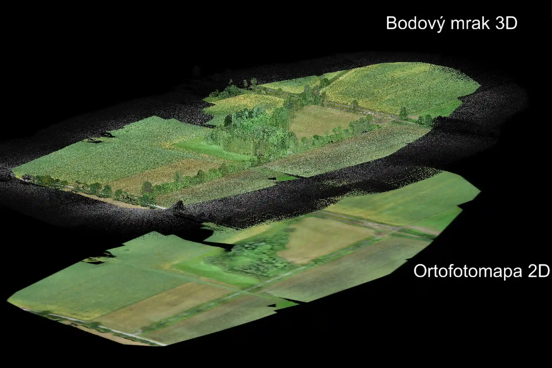
We carry out aerial surveys of cadastral districts for land consolidation using the eBee X UAS. Each year we survey five to ten cadastral districts ranging from 220 ha to 980 ha.
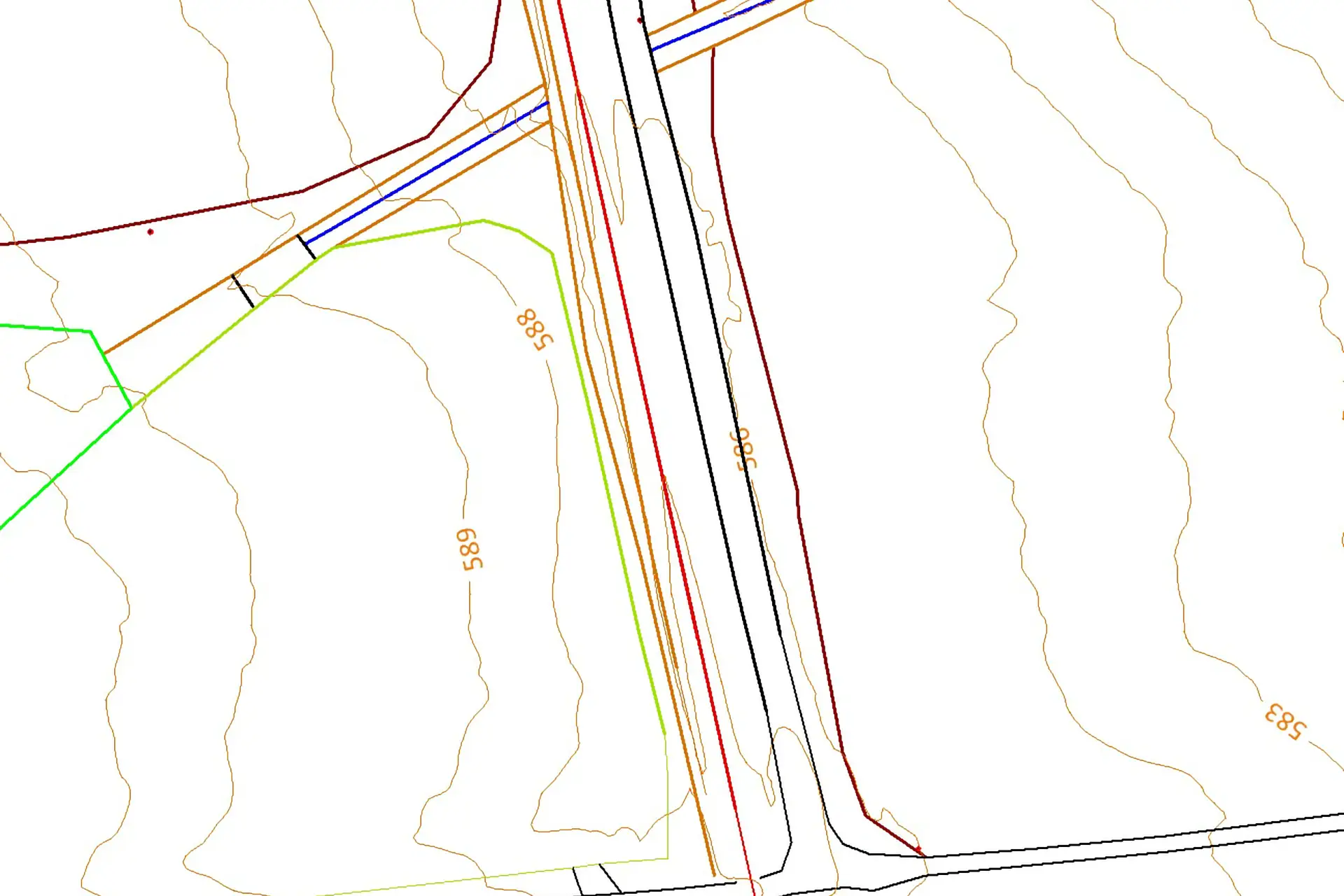
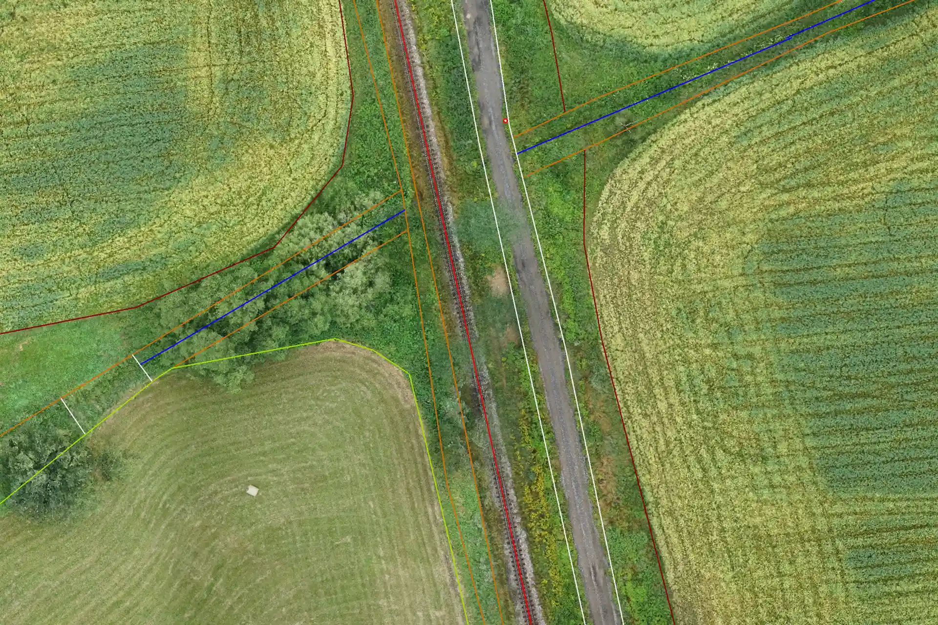
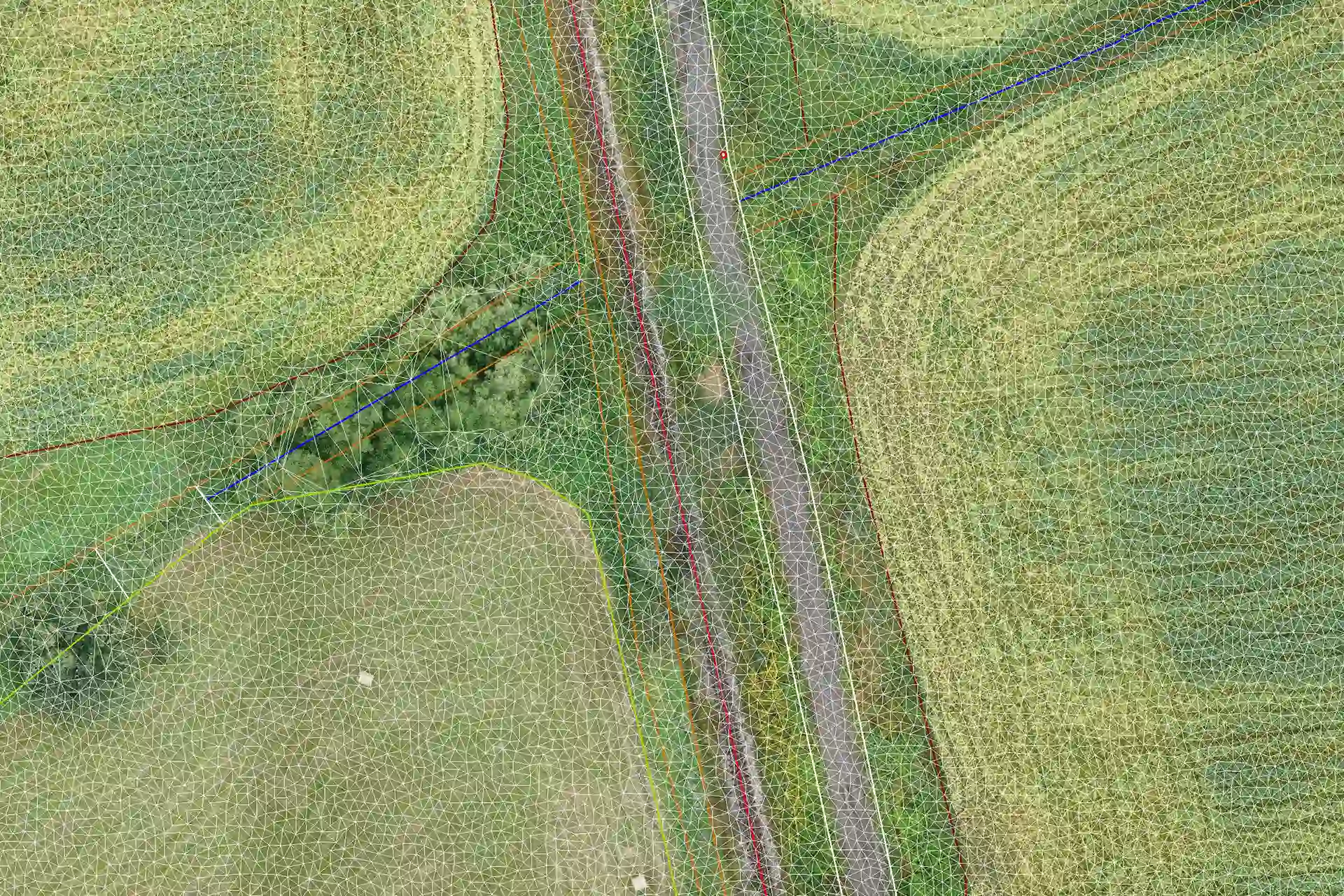
The data are processed in Pix4D, which generates point clouds and orthophoto maps. From the point clouds we then build digital terrain models (DTM), contour lines and slope lines.
Technology used
Gallery
More projects
Other projects
UAV mapping
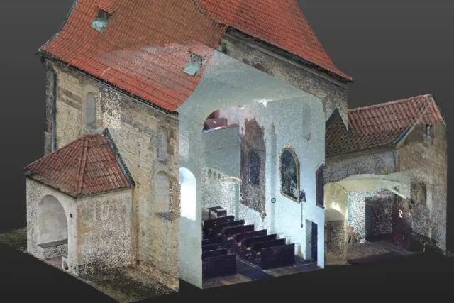
Dolní Chabry church
Documentation of a church building.
UAV mapping
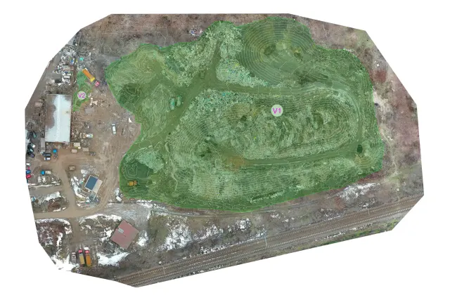
Malešice landfill
Volume measurement by UAS.
Photogrammetry
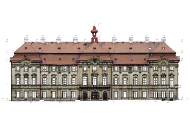
Měšice Chateau
Photogrammetric documentation of a chateau.
Have a project we can help with?
Get in touch for a no-obligation consultation. We reply within 48 hours.